Why Apple is giving Maps the big reboot

This is what Eddy Cue, Apple's senior vice president of services, told Matthew Panzarino of TechCrunch, who scored the exclusive sneak preview of Apple's all-new, next-generation Maps:
"We have been working on trying to create what we hope is going to be the best map app in the world. Taking it to the next step. That is building all of our own map data from the ground up."
From there to here
Once upon a time, Google made Apple an offer it thought they couldn't refuse: Give us access to all your customers' location data and let us serve them ads in Maps, or do without critical features like vector tiles and turn-by-turn navigation. But Apple did refuse. And hard. And that meant the clock was suddenly ticking on Apple Maps. Fast.
Apple had always made the Maps interface on iPhone and had been considering building its own map data for a while. Almost certainly, though, it thought it had more time.
Now it was in a mad dash to rip out Google and replace it in time for the launch of iOS 6. So Apple had to license all the data it could from TomTom, Open Street Map, Yelp, and others.
Because the data were all from different companies, it was all in different formats, and Apple's aggregation, cleansing, and coherency did not go well — and, in many places, it went terribly.

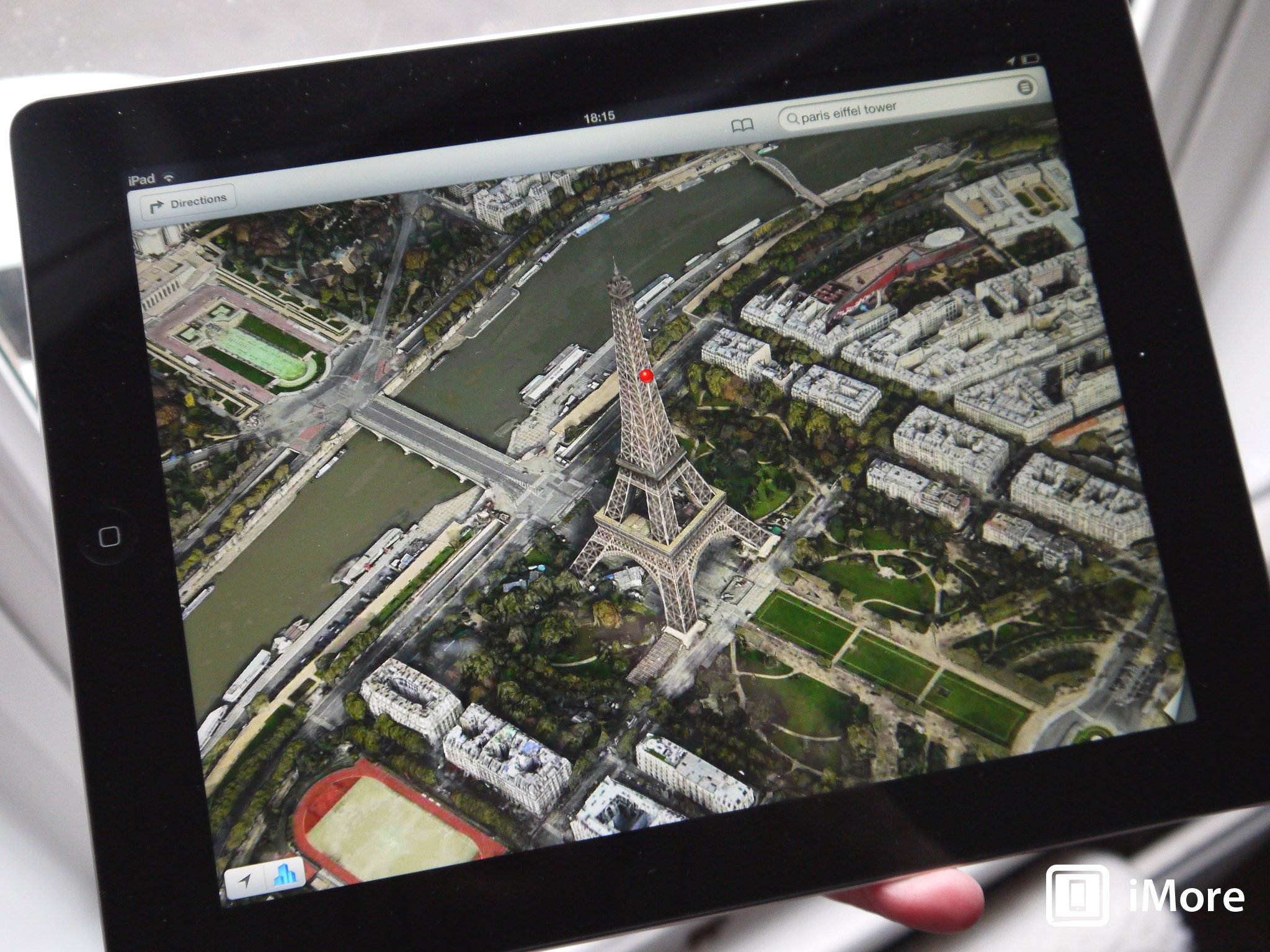
There were flashy new features like Flyover from companies Apple had acquired over the years for its eventual Maps project, but it had no way yet to replace old ones like Street View. And with all the petty fiefdoms involved, it took years to even get Transit back.
As a result, the director in charge of Maps — who previously spearheaded the hugely successful Mobile Safari project — was let go and Tim Cook was compelled to issue an unprecedented apology.
Master your iPhone in minutes
iMore offers spot-on advice and guidance from our team of experts, with decades of Apple device experience to lean on. Learn more with iMore!
Around the same time, though, Apple began ramping up an entirely new Apple Maps project. Or, perhaps, the Apple Maps project as it should have been and was meant to be.
It's hard to remember now, but Google Maps wasn't created over night or in a vacuum. Back in the day, there were only two real map providers: Tele Atlas, which became TomTom, and Navteq, which became Nokia Here (now owned by a consortium).
Google licensed its maps like everyone else… until it could re-drive and re-map the world in its own image, and do it better than anyone had ever done it before.
Apple had the same lofty aspirations but its definition of better includes fierce protections for user privacy.
Privacy first, last, and always
The data for the new Apple Maps is being collected in three primary ways:
From high-resolution satellite imaging, from specially outfitted Apple Maps vans that have been driving international roadways for years already, and from the billion-odd iPhones that all of us carry every day as we drive, ride, and walk our way through the world.
From the satellites, using computer vision, Apple will be able to add much more detail on everything from parks, to paths, to pools. Right now, Google has trails, and sports facilities Apple doesn't. That's going to change.
From the trucks, Apple is building super high-resolution panoramas and a "point cloud" that maps the world in a full three dimensions.
That lets Maps see under things like tree canopies, which can block satellites, verify addresses, accurately account for lanes, model the real shapes of buildings, match the graphical representation of local street and road signs, and nail points of entry.
While Apple seldomly discusses future products, it also positions them for features like Google-style Street View and Augmented Reality directions, and even pre-fetches data for enhanced and autonomous technologies, including the long-rumored Titan project.
From all the iPhones in all the pockets and hands, Apple will be able to get real-time flow data, which is key to understanding everything from newly opened routes to construction and accidents affecting traffic up-to-the-second. Think Waze but without having to share your personal location data with Google.
That's the biggest part of all this. Through every step and layer and process, the new Apple Maps was architected with privacy in mind. For example, all the Apple Maps van data is encrypted and sanitized to remove faces, license plates, and other individually identifiable information.
Data from iPhones is segmented with the start and end points thrown away and only random, de-identified parts from the mid-points used to "probes" for new routes and traffic. (You can also opt-out of that Settings > Privacy if you really want to.)
At iPhone volume, that means Apple Maps can know how people are navigating without having to know where how any individual person is coming or going. And because Apple's A-series processors are so powerful, it can add any personal context it needs to on-device.
In other words, you don't serve the cloud, the cloud serves you.
Machine Learning meets Human editing

Because Apple believes machine learning by itself is only ever half an answer, Maps will be using human editors, just like App Store and News, but in the hundreds. It'll use them to sanity check and make corrections, which, because Apple will no longer have to loop through a host of other companies, will all be handled much, much, much more quickly.
And yes, search is also being improved so that, you know, searching from something local doesn't prioritize a result three continents away.
What this means for us is better detailed, more accurate, more relevant, and eventually more feature-rich maps that let us stop having to worry about or figure out what they're telling us, and let us enjoy the drive, ride, or walk knowing we'll get exactly where we're going.
Great cartographers ship
Cue told Panzer:
"We don't think there's anybody doing this level of work that we're doing. We haven't announced this. We haven't told anybody about this. It's one of those things that we've been able to keep pretty much a secret. Nobody really knows about it. We're excited to get it out there."
That's an ambitious thing to say — even audacious. Given the history of Apple Maps, I'd much prefer Apple under-promise and over-deliver here. In fact, I'm not going to believe any of this, not even a little, until Apple proves it — until the new Maps ship and we all get a chance to hammer on it. Hard.
That'll start this week in the Bay Area of California, including San Francisco and Cupertino. Over the course of the next year, it'll hit the rest of the U.S., and then keep going internationally.

Rene Ritchie is one of the most respected Apple analysts in the business, reaching a combined audience of over 40 million readers a month. His YouTube channel, Vector, has over 90 thousand subscribers and 14 million views and his podcasts, including Debug, have been downloaded over 20 million times. He also regularly co-hosts MacBreak Weekly for the TWiT network and co-hosted CES Live! and Talk Mobile. Based in Montreal, Rene is a former director of product marketing, web developer, and graphic designer. He's authored several books and appeared on numerous television and radio segments to discuss Apple and the technology industry. When not working, he likes to cook, grapple, and spend time with his friends and family.

